Craig Hullinger- City Planner, Marine Colonel Retired
7/26/2015
Animated Presidential Primary Maps
Business Insider
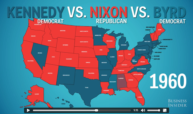
This animated map shows how the states voted in every presidential election since the Civil War.
Click to see the maps
Thanks to City Planner Greg Dreyer for sharing on Facebook.
No comments:
Post a Comment
Newer Post
Older Post
Home
No comments:
Post a Comment