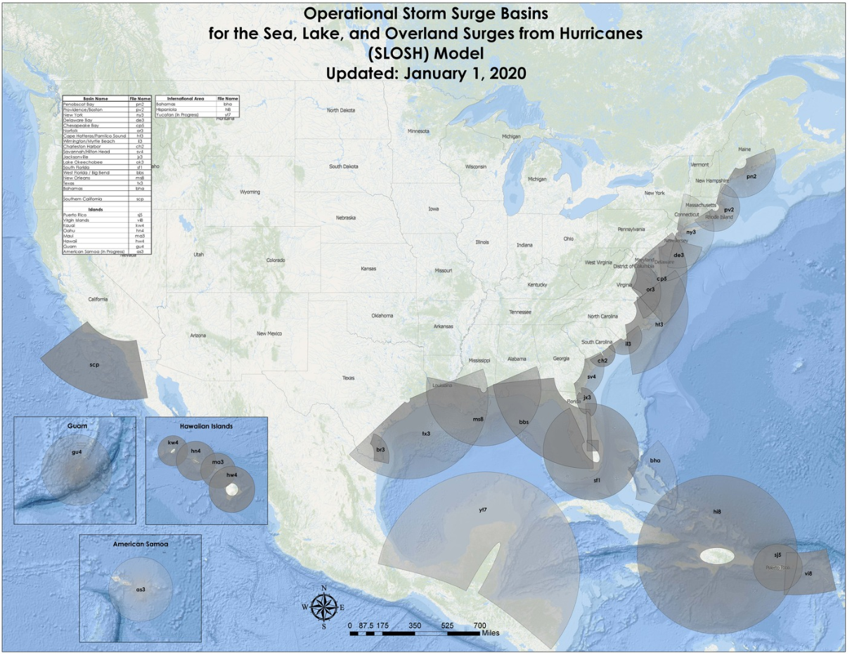
SLOSH Model
"The Sea, Lake and Overland Surges from Hurricanes (SLOSH) model is a computerized numerical model developed by the National Weather Service (NWS) to estimate storm surge heights resulting from historical, hypothetical, or predicted hurricanes by taking into account the atmospheric pressure, size, forward speed, and track data."
"Composite Approach - Predicts surge by running SLOSH several thousand times with hypothetical hurricanes under different storm conditions. The products generated from this approach are the Maximum Envelopes of Water (MEOWs) and the Maximum of MEOWs (MOMs)"
Flood Surge Map Manatee County


No comments:
Post a Comment